

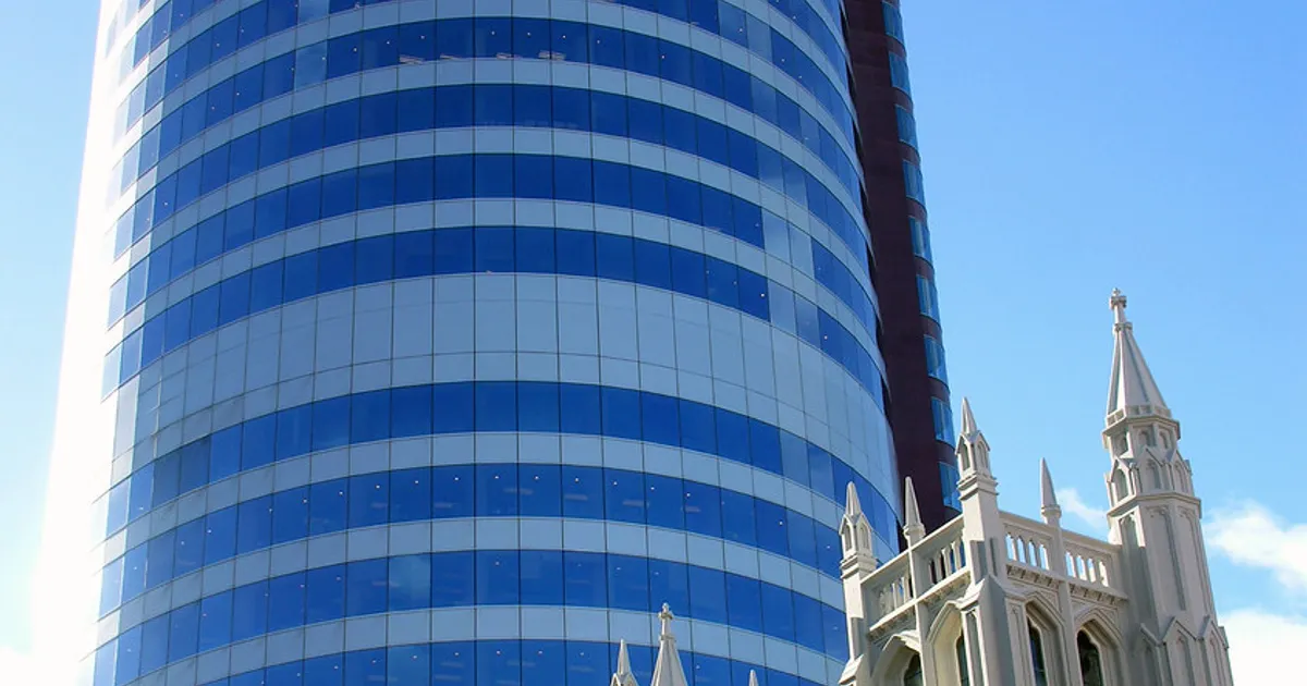
The ground under the capital just got softer
Victoria University of Wellington researchers have mapped the Lambton Basin, the soft sedimentary fill beneath the CBD, and found it reaches a maximum depth of 540 metres near Wellington Stadium. That is approximately twice the depth previously modelled. The revised map, based on roughly 600 new gravity observations, shows the basin extends to 200 metres beneath much of Thorndon and 150 to 200 metres beneath Waitangi Park.
This is not a theoretical risk upgrade. It is a measurable change to the physical assumptions underpinning building compliance, insurance pricing, and commercial property valuations across the most concentrated office market in New Zealand.
A bathtub full of seismic energy
Deeper basins trap and amplify earthquake waves more severely than shallow ones. Emeritus Professor Tim Stern, the study’s lead author, described the mechanism to RNZ’s Nine to Noon: earthquake waves become trapped in the large basin and resonate, producing a tripling of shaking intensity compared to surrounding areas. He told the NZ Herald the effect is “much like waves caught in a swimming pool or bathtub.”
Critically, the amplification is not uniform. The basin’s geometry creates a concentrated corridor just east of the Lambton Fault, running along the spine of Wellington’s commercial core. That narrow strip contains some of the highest-value office buildings in the capital. Buildings outside the corridor face a different risk profile to those inside it, but current compliance assessments do not distinguish between the two.
We already have the receipts
The 2016 Kaikoura earthquake, centred roughly 200km from Wellington, caused $1.5 billion in insured losses in the capital alone. That damage is now understood to have been amplified by basin resonance, over a basin whose depth was underestimated by half. Earlier, two 1942 earthquakes near Masterton damaged at least 10,000 chimneys in Wellington. The GNS 2022 National Seismic Hazard Model records Peak Ground Acceleration forecasts ranging from 0.5g to 2.3g across the Wellington-Wairarapa region.
The pattern is clear: Wellington’s commercial core takes outsized punishment from earthquakes that are not even centred beneath it. The revised basin depth makes that pattern worse, not better.
Insurance models were already wrong once
After Canterbury, the Insurance Council of New Zealand acknowledged that risk models had been more than 100% incorrect, triggering a recalibration that produced a 30% increase in New Zealand’s projected annual average earthquake loss under one model. The Reserve Bank already requires all NZ insurers to be capitalised to meet the costs of a 1-in-1000-year earthquake event within 50km of the Beehive.
Revised basin geometry is precisely the kind of input that triggers reinsurer treaty repricing, which flows directly to local commercial premiums. The ICNZ has posed the uncomfortable question: “It’s time for serious debate to be had about whether the inhabitants of one of the riskiest countries in the world can expect that no matter what happens, either insurers or the government will always put them back to where they were before catastrophe struck.”
Code-compliant buildings may not actually be safe enough
Building code compliance in New Zealand is site-specific, derived from the National Seismic Hazard Model and local ground conditions. If the basin geometry feeding those calculations was materially wrong, every compliance assessment built on the old numbers carries an unquantified error. As BusinessDesk has reported, the earthquake-prone building register already creates measurable financial stigma through reduced valuations, constrained lending, and tenant flight. The basin research introduces a different problem: buildings that are not on the register, that technically comply with code, may sit in a zone where the ground motion assumptions embedded in that compliance are now known to be too low.
Engineers, valuers, and lenders have not worked through what this means for existing stock. But tenants making lease decisions and investors pricing Wellington office assets should not wait for them to finish.
What we still don’t know is the scarier part
The research also identifies a possible onshore extension of the Aotea Fault with up to 130 metres of basement offset, and a possible extension of the Lambton Fault beneath Wellington Railway Station. Dr Graham Leonard of Earth Sciences New Zealand has noted that “there are many, many thousands of fault lines across Aotearoa. We’ve really only studied some hundreds of them in detail.” A separate NHC-backed study in Southland found earthquakes at depths of up to 40km in regions not traditionally associated with seismic activity.
New Zealand’s geological risk keeps being revised upward as new data arrives. Wellington’s commercial property market has been priced on assumptions that are now demonstrably wrong. The question is not whether premiums, valuations, and lending terms adjust. It is whether owners and investors get ahead of the repricing, or get caught by it.
Sources
- NZ Herald: Wellington CBD earthquake shake risk higher than thought, new research finds
- RNZ Nine to Noon: EQs much more damaging to basin edge in Wellington – study
- NZSEE 2022: Depth and Shape of the Basement Surface Beneath Wellington City (Stronach & Stern) (2022)
- ICNZ Editorial: Wellington risk and insurance
- GNS Science: 2022 National Seismic Hazard Model – Wellington-Wairarapa region (2022)
- BusinessDesk: Seismic stigma, the financial fallout from the earthquake-prone building register
- Business Scoop: Laser Mapping And CT Scans Reveal North Island’s Hidden Quake Risk (2026-03-07)
- Insurance Business NZ: NHC-backed study uncovers deep earthquakes and hidden faults